File list
From Heritage Apple Corps
This special page shows all uploaded files.
| Date | Name | Thumbnail | Size | User | Description | Versions |
|---|---|---|---|---|---|---|
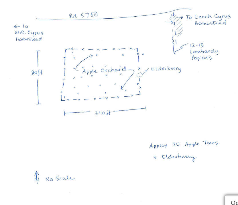
| 22:42, 1 February 2026 | Cyrus Orchard Hand Drawn Map.png (file) |  |
160 KB | Bot (talk | contribs) | Hand-drawn map of the Omer Cyrus Orchard showing layout of approximately 20 apple trees, 3 elderberries, and 12-15 Lombardy poplars. Shows directions to W.D. Cyrus Homestead and Enoch Cyrus Homestead. | 1 |
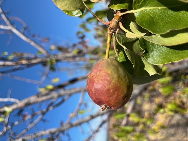
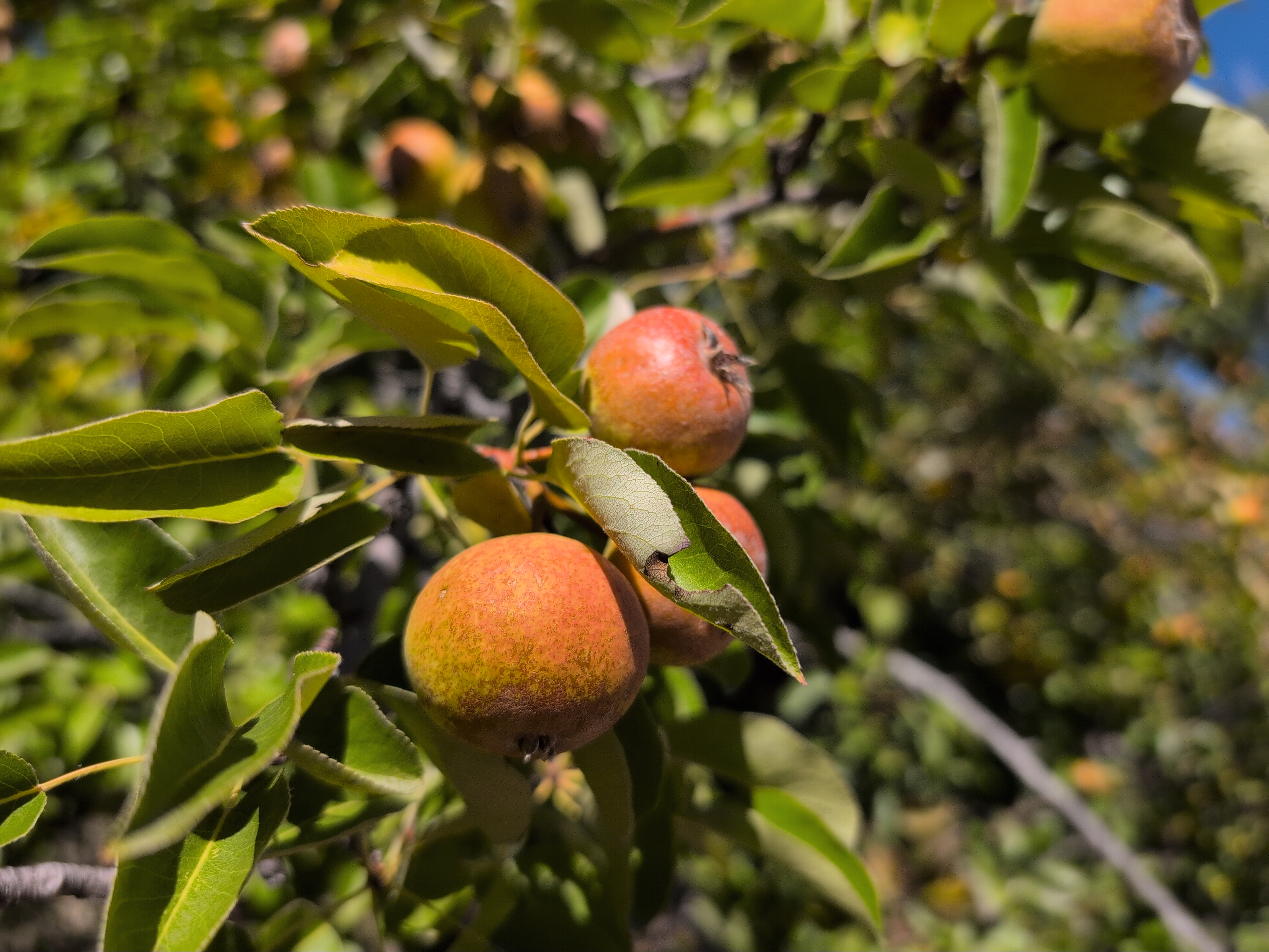
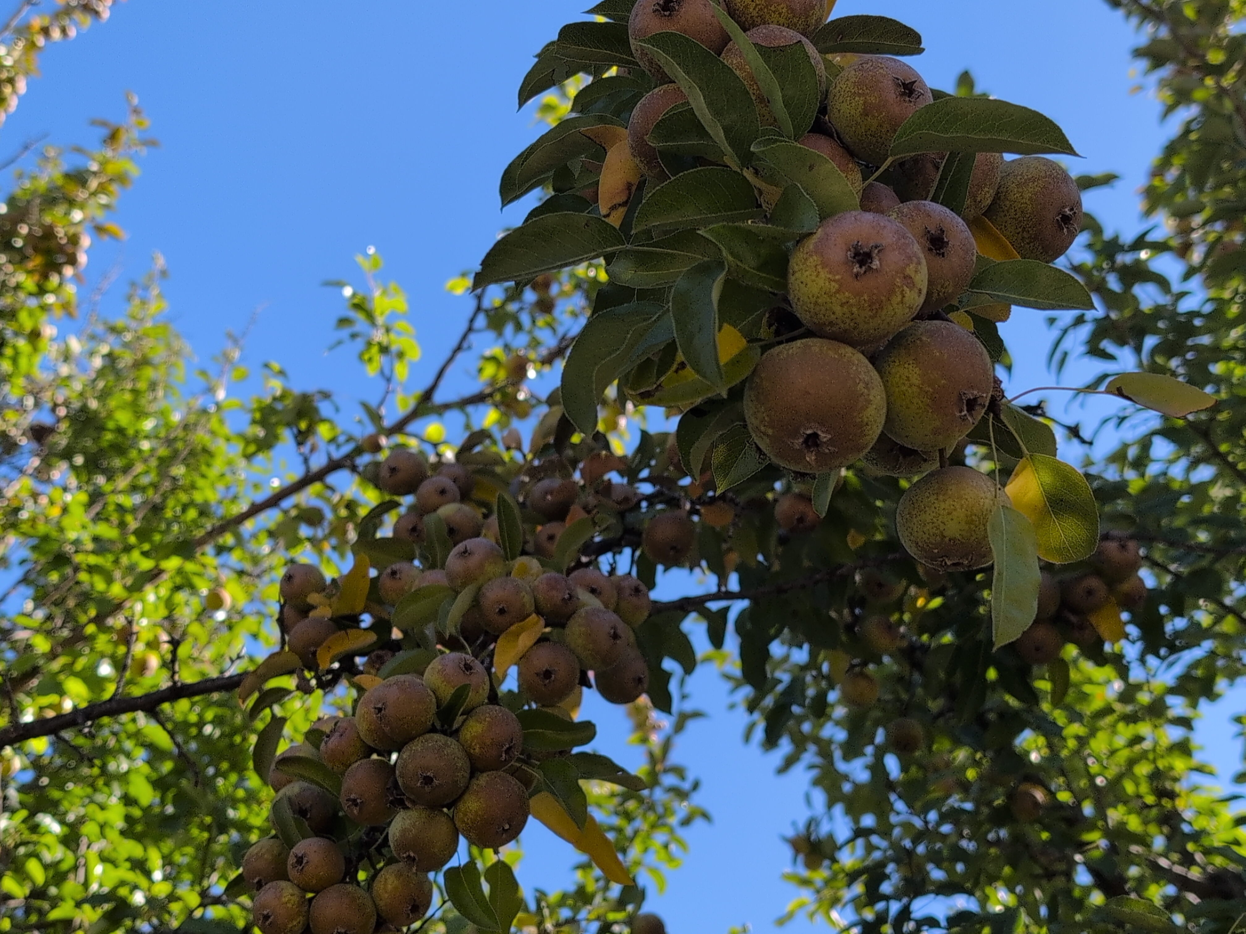
| 22:42, 1 February 2026 | Cyrus Barn Red Pear 2024.jpg (file) |  |
176 KB | Bot (talk | contribs) | Red pear fruit on one of the 5 surviving pear trees at the Cyrus Barn orchard, photographed in 2024. | 1 |
| 22:54, 1 February 2026 | Duane Ecker CRNG Legacy Notes 2001.pdf (file) | 491 KB | Bot (talk | contribs) | Duane Ecker's handwritten field notes from 2001 documenting heritage apple orchards on the Crooked River National Grassland. Includes tree counts, pruning history, and location details for McCoin, Cyrus, Lithgow, Haystack, 5 Tree, and East Springer orchards. | 1 | |
| 22:54, 1 February 2026 | Duane Ecker CRNG Legacy Map1 2001.pdf (file) | 768 KB | Bot (talk | contribs) | Hand-drawn map by Duane Ecker (2001) showing locations of heritage orchards on the Crooked River National Grassland. | 1 | |
| 22:54, 1 February 2026 | Duane Ecker CRNG Legacy Map2 2001.pdf (file) | 716 KB | Bot (talk | contribs) | Second hand-drawn map by Duane Ecker (2001) showing heritage orchard locations on CRNG. | 1 | |
| 22:54, 1 February 2026 | Homestead Orchards Central Oregon Agate 2015.pdf (file) | 1.14 MB | Bot (talk | contribs) | Jefferson County Historical Society "The Agate" Spring 2015 article by Jarold Ramsey documenting homestead orchards in Central Oregon, including McCoin, Cyrus, and Cove orchards. | 1 | |
| 22:54, 1 February 2026 | National Register Enoch Cyrus Homestead.pdf (file) | 103 KB | Bot (talk | contribs) | Oregon Historic Site Record for the Enoch Cyrus Homestead, listed on the National Register of Historic Places May 26, 2015. | 1 | |
| 22:54, 1 February 2026 | McCoin Orchard Survey 2012.pdf (file) | 215 KB | Bot (talk | contribs) | 2012 Home Orchard Society/Apple Detective survey of McCoin Orchard with variety identifications. | 1 | |
| 22:54, 1 February 2026 | McCoin Orchard Tree List 2012.pdf (file) | 229 KB | Bot (talk | contribs) | 2012 tree list for McCoin Orchard from Home Orchard Society survey. | 1 | |
| 22:54, 1 February 2026 | McCoin Upper Map 2012.pdf (file) | 33 KB | Bot (talk | contribs) | 2012 hand-drawn map of McCoin Upper orchard. | 1 | |
| 22:54, 1 February 2026 | McCoin Lower Map 2012.pdf (file) | 76 KB | Bot (talk | contribs) | 2012 hand-drawn map of McCoin Lower orchard. | 1 | |
| 22:54, 1 February 2026 | Cyrus Orchards Tree List 2012.pdf (file) | 221 KB | Bot (talk | contribs) | 2012 tree list for Enoch and Omer Cyrus orchards from Home Orchard Society survey. | 1 | |
| 22:54, 1 February 2026 | El Rancho Historical Info.pdf (file) | 252 KB | Bot (talk | contribs) | Historical information about El Rancho (Hubbard Ranch) from "Oregon's Sisters Country" by Raymond R. Hatton. | 1 | |
| 22:54, 1 February 2026 | FlyMon Millsite Map.pdf (file) | 1 MB | Bot (talk | contribs) | Forest Service map showing location of heritage apple tree at the FlyMon Mill site near Geneva. | 1 | |
| 22:54, 1 February 2026 | Clarno Apple Arboretum Map 2025.pdf (file) | 98 KB | Bot (talk | contribs) | Map of the Clarno Heritage Apple Arboretum showing locations of preserved heritage apple trees. | 1 | |
| 22:54, 1 February 2026 | Clarno Scion Sources 2018.pdf (file) | 152 KB | Bot (talk | contribs) | 2018 notes on apple scion sources grafted at the Clarno nursery for preservation. | 1 | |
| 22:56, 1 February 2026 | McCoin Orchard Notes 2012.docx (file) | 13 KB | Bot (talk | contribs) | 2012 Home Orchard Society notes on McCoin Orchard with variety identifications and observations. | 1 | |
| 22:56, 1 February 2026 | McCoin Cyrus Overview 2012.docx (file) | 13 KB | Bot (talk | contribs) | 2012 overview document covering both McCoin and Cyrus orchards. | 1 | |
| 22:56, 1 February 2026 | Enoch Omer Cyrus Orchard 2012.docx (file) | 13 KB | Bot (talk | contribs) | 2012 Home Orchard Society notes on Enoch and Omer Cyrus orchards. | 1 | |
| 22:56, 1 February 2026 | Omer Cyrus Orchard Notes 2012.docx (file) | 11 KB | Bot (talk | contribs) | 2012 detailed notes on Omer Cyrus Orchard with variety identifications. | 1 | |
| 22:56, 1 February 2026 | Enoch Cyrus Orchard Notes 2012.docx (file) | 10 KB | Bot (talk | contribs) | 2012 detailed notes on Enoch Cyrus Orchard (Cyrus Horse Camp). | 1 | |
| 22:56, 1 February 2026 | CRNG Orchard Survey 2024 Summary.docx (file) | 14 KB | Bot (talk | contribs) | 2024 CRNG Fruit Orchard Survey summary documenting current tree conditions and DNA sampling efforts. | 1 | |
| 22:56, 1 February 2026 | Clarno Legacy Apples Grafted.docx (file) | 14 KB | Bot (talk | contribs) | Documentation of legacy apple scions grafted at Clarno nursery for preservation. | 1 | |
| 22:56, 1 February 2026 | Cyrus Topo Map.png (file) |  |
215 KB | Bot (talk | contribs) | Topographic view of the Omer Cyrus orchard area. | 1 |
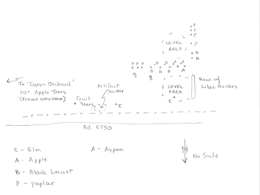
| 22:56, 1 February 2026 | Cyrus Additional Map.png (file) |  |
93 KB | Bot (talk | contribs) | Additional map view of the Cyrus orchard area. | 1 |
| 11:28, 2 February 2026 | CRNG Apple Orchard Legacy Map 1 2001 Duane Ecker.pdf (file) | 768 KB | Bot (talk | contribs) | Rotated 180 degrees (was upside down) | 1 | |
| 11:28, 2 February 2026 | CRNG Apple Orchard Legacy Map 2 2001 Duane Ecker.pdf (file) | 716 KB | Bot (talk | contribs) | Rotated 180 degrees (was upside down) | 1 | |
| 12:09, 2 February 2026 | 5 Tree Map GoogEarth.pdf (file) | 11.86 MB | Bot (talk | contribs) | Spatial map with imagery for 5 Tree orchard | 1 | |
| 12:09, 2 February 2026 | CyrusBarn Map GoogEarth.pdf (file) | 7.45 MB | Bot (talk | contribs) | Spatial map with imagery for Cyrus Barn orchard | 1 | |
| 12:09, 2 February 2026 | EastSpringerMap GoogEarth.pdf (file) | 9.75 MB | Bot (talk | contribs) | Spatial map with imagery for East Springer orchard | 1 | |
| 12:09, 2 February 2026 | Enoch Cyrus Orchard Map GoogEarth.pdf (file) | 4.7 MB | Bot (talk | contribs) | Spatial map with imagery for Enoch Cyrus orchard | 1 | |
| 12:09, 2 February 2026 | Haystack Map GoogEarth.pdf (file) | 10.02 MB | Bot (talk | contribs) | Spatial map with imagery for Haystack orchard | 1 | |
| 12:10, 2 February 2026 | Lithgow Springs Map GoogEarth.pdf (file) | 6.37 MB | Bot (talk | contribs) | Spatial map with imagery for Lithgow Springs orchard | 1 | |
| 12:10, 2 February 2026 | Lower Lithgow Springs Map GoogEarth.pdf (file) | 5.87 MB | Bot (talk | contribs) | Spatial map with imagery for Lower Lithgow Springs orchard | 1 | |
| 12:10, 2 February 2026 | McCoin Map GoogEarth.pdf (file) | 5.24 MB | Bot (talk | contribs) | Spatial map with imagery for McCoin Upper orchard | 1 | |
| 12:10, 2 February 2026 | Omer Cyrus Orchard Map GoogEarth.pdf (file) | 6.01 MB | Bot (talk | contribs) | Spatial map with imagery for Omer Cyrus orchard | 1 | |
| 12:10, 2 February 2026 | Osborn Spring Map GoogEarth.pdf (file) | 6.85 MB | Bot (talk | contribs) | Spatial map with imagery for Osborn Spring orchard | 1 | |
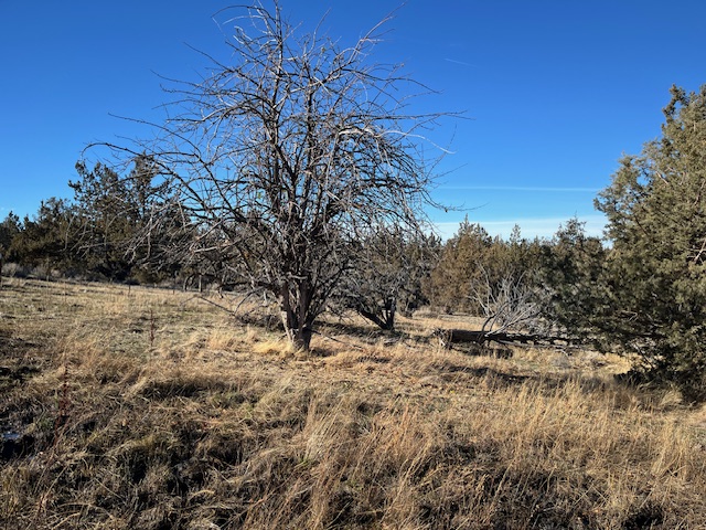
| 16:38, 3 February 2026 | Orchard West Lithgow.jpeg (file) |  |
263 KB | Bot (talk | contribs) | West Lithgow orchard on the Crooked River National Grassland | 1 |
| 16:38, 3 February 2026 | Tree West Lithgow 124.jpeg (file) |  |
298 KB | Bot (talk | contribs) | Tree #124 at West Lithgow orchard | 1 |
| 16:38, 3 February 2026 | Tree West Lithgow 125.jpeg (file) |  |
316 KB | Bot (talk | contribs) | Tree #125 at West Lithgow orchard | 1 |
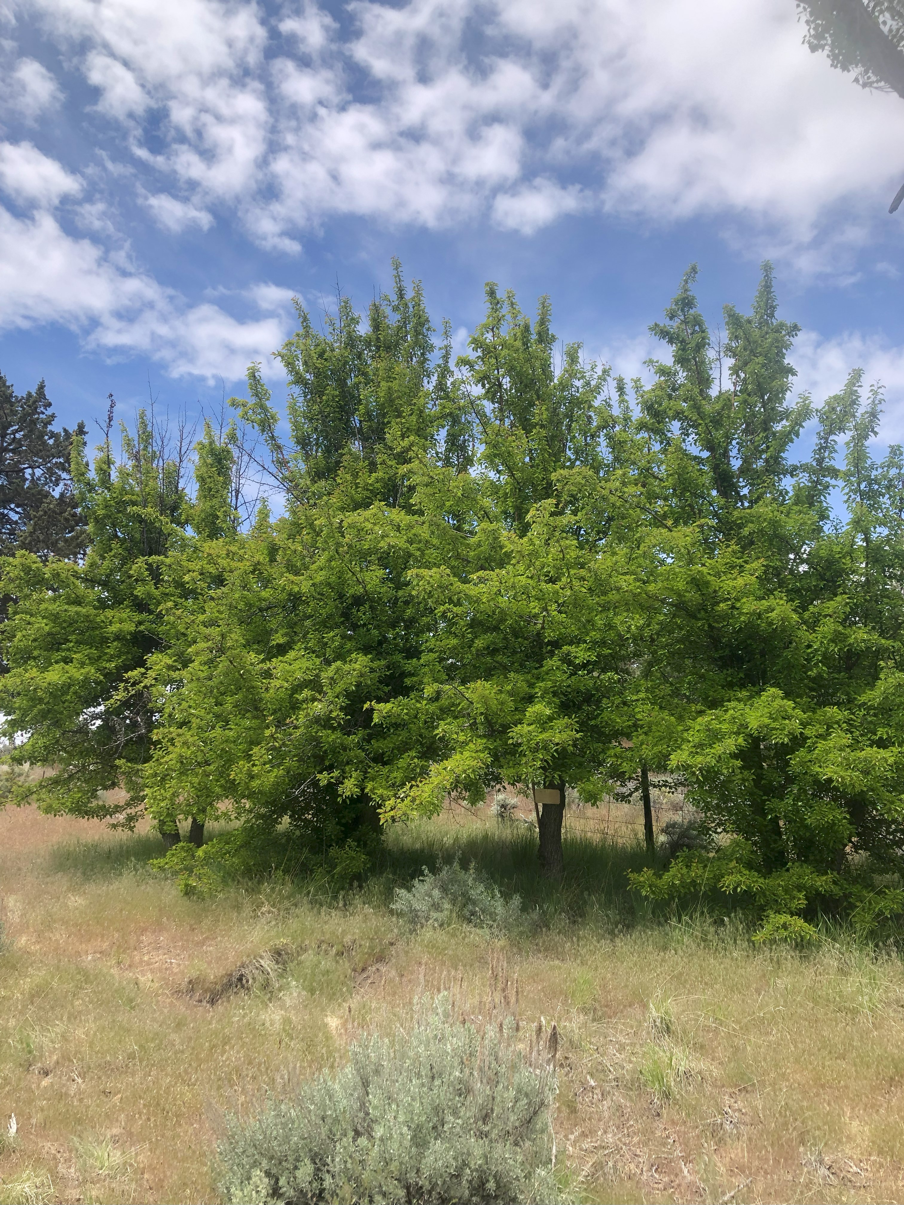
| 20:03, 7 February 2026 | Hattie Cyrus Orchard 1.jpg (file) |  |
9.73 MB | Bot (talk | contribs) | Hattie Cyrus orchard site, February 2026 | 1 |
| 20:03, 7 February 2026 | Hattie Cyrus Orchard 2.jpg (file) |  |
9.5 MB | Bot (talk | contribs) | Hattie Cyrus orchard site, February 2026 | 1 |
| 15:44, 8 February 2026 | McCoin Upper Trees 59-62 a.jpg (file) |  |
3.64 MB | Bot (talk | contribs) | McCoin Upper Trees 59-62 group photo | 1 |
| 15:44, 8 February 2026 | McCoin Upper Trees 59-62 b.jpg (file) |  |
6.93 MB | Bot (talk | contribs) | McCoin Upper Trees 59-62 group photo | 1 |
| 15:44, 8 February 2026 | McCoin Upper Trees 59-62 c.jpg (file) |  |
6.21 MB | Bot (talk | contribs) | McCoin Upper Trees 59-62 group photo | 1 |
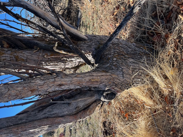
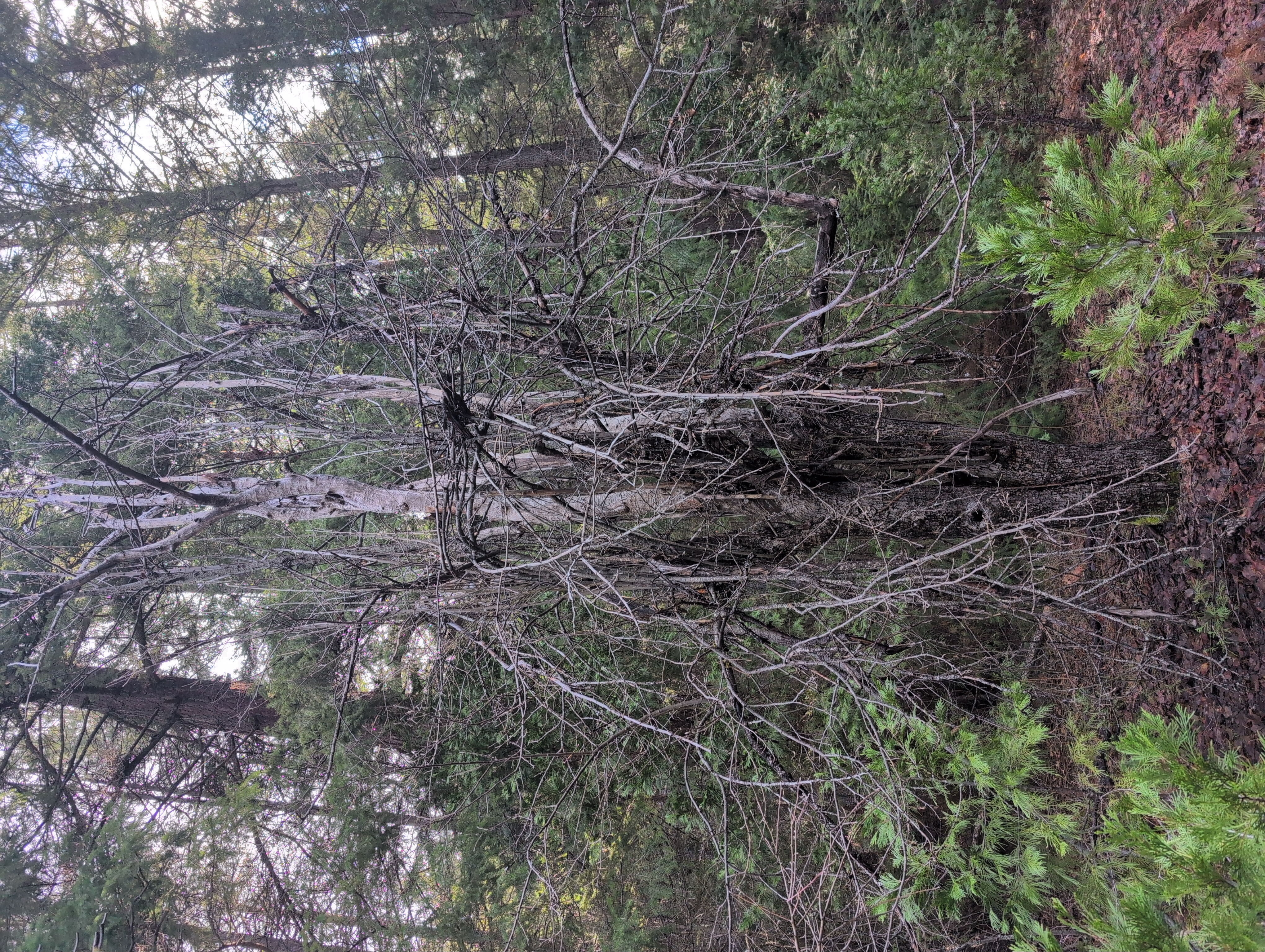
| 18:44, 11 February 2026 | Smith Homestead-Metolius 1.jpg (file) |  |
12.25 MB | Bot (talk | contribs) | Photo of Smith Homestead-Metolius Tree 1 | 1 |
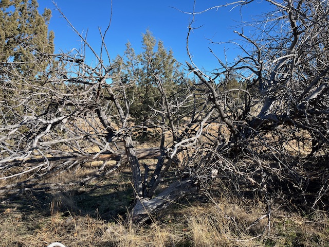
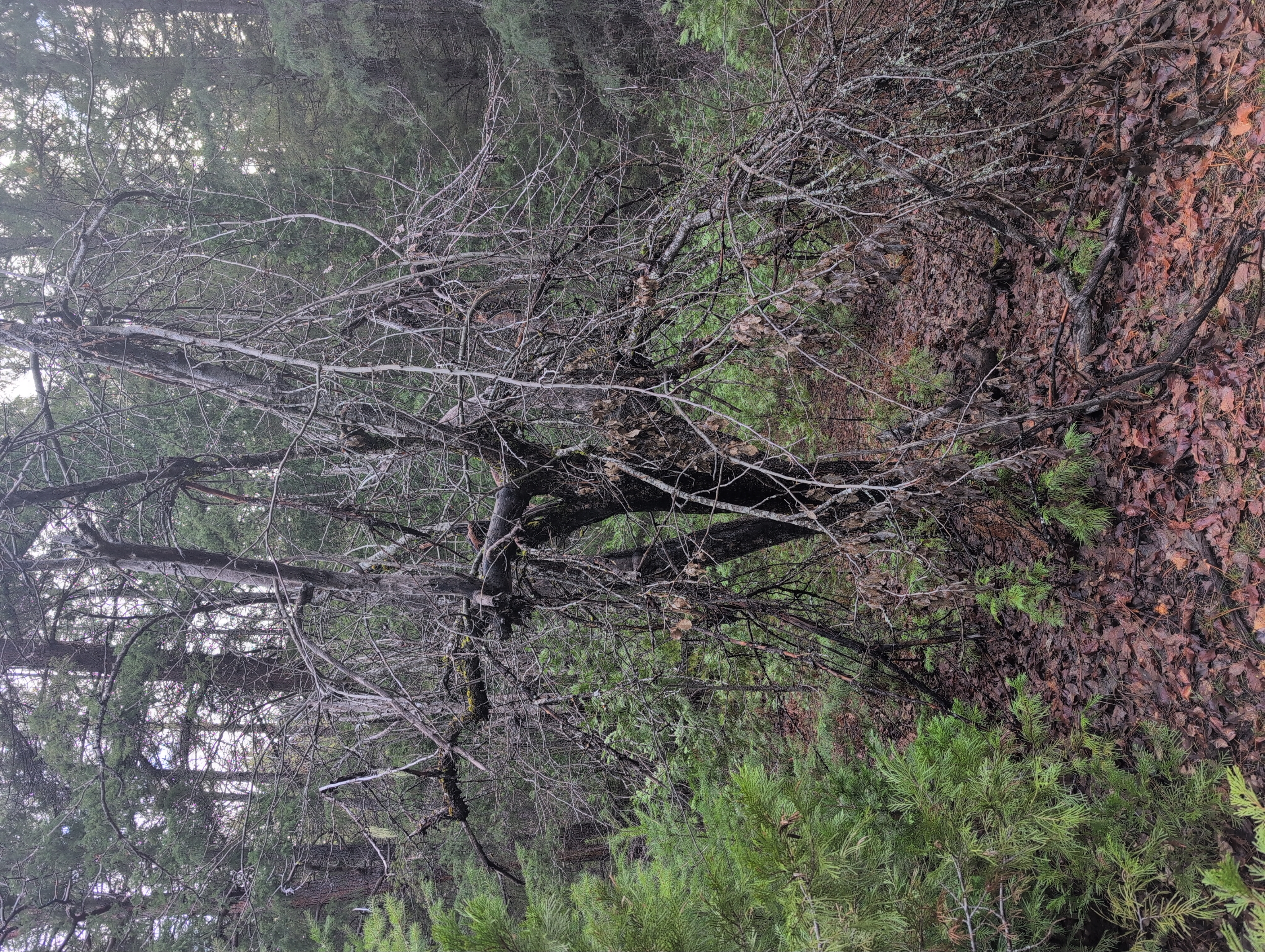
| 18:45, 11 February 2026 | Smith Homestead-Metolius 2.jpg (file) |  |
11.91 MB | Bot (talk | contribs) | Photo of Smith Homestead-Metolius Tree 2 | 1 |
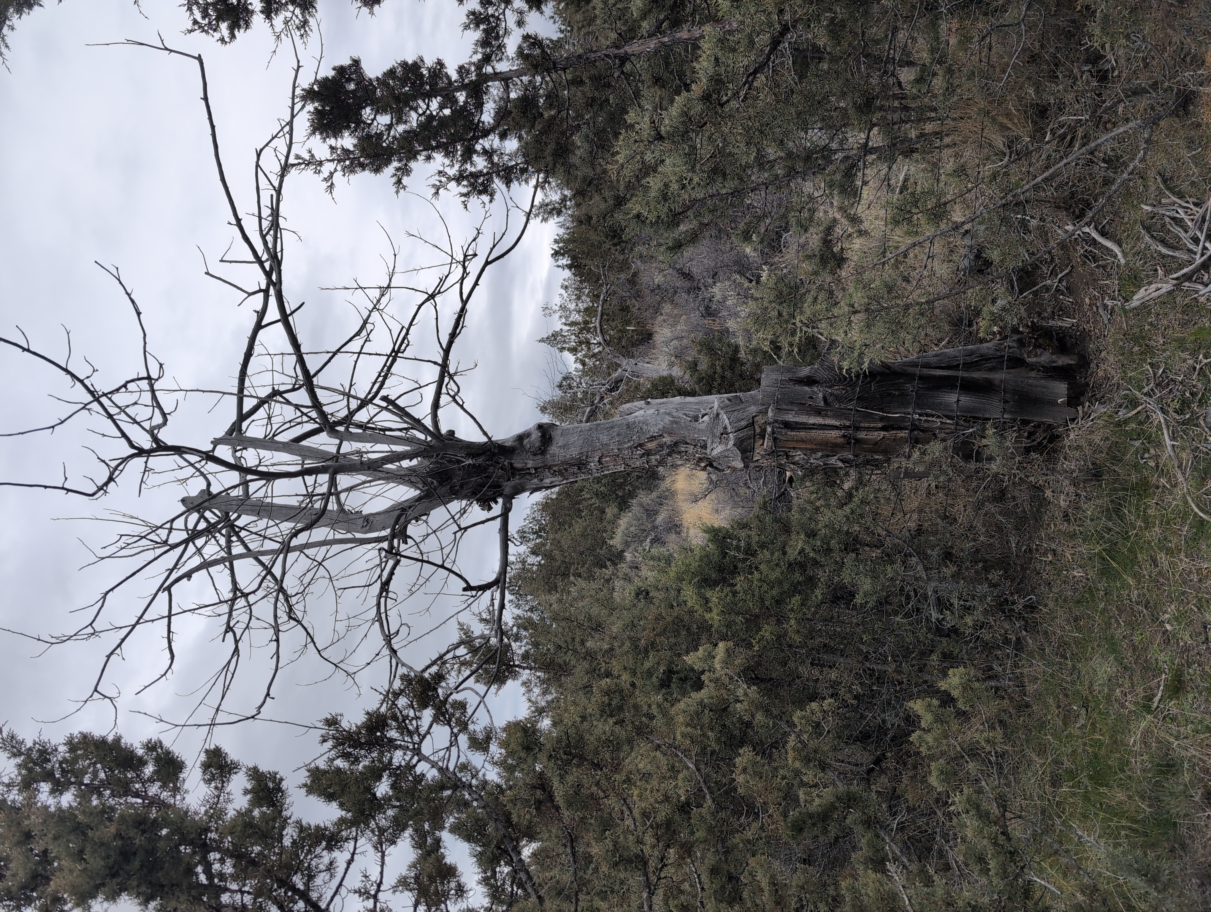
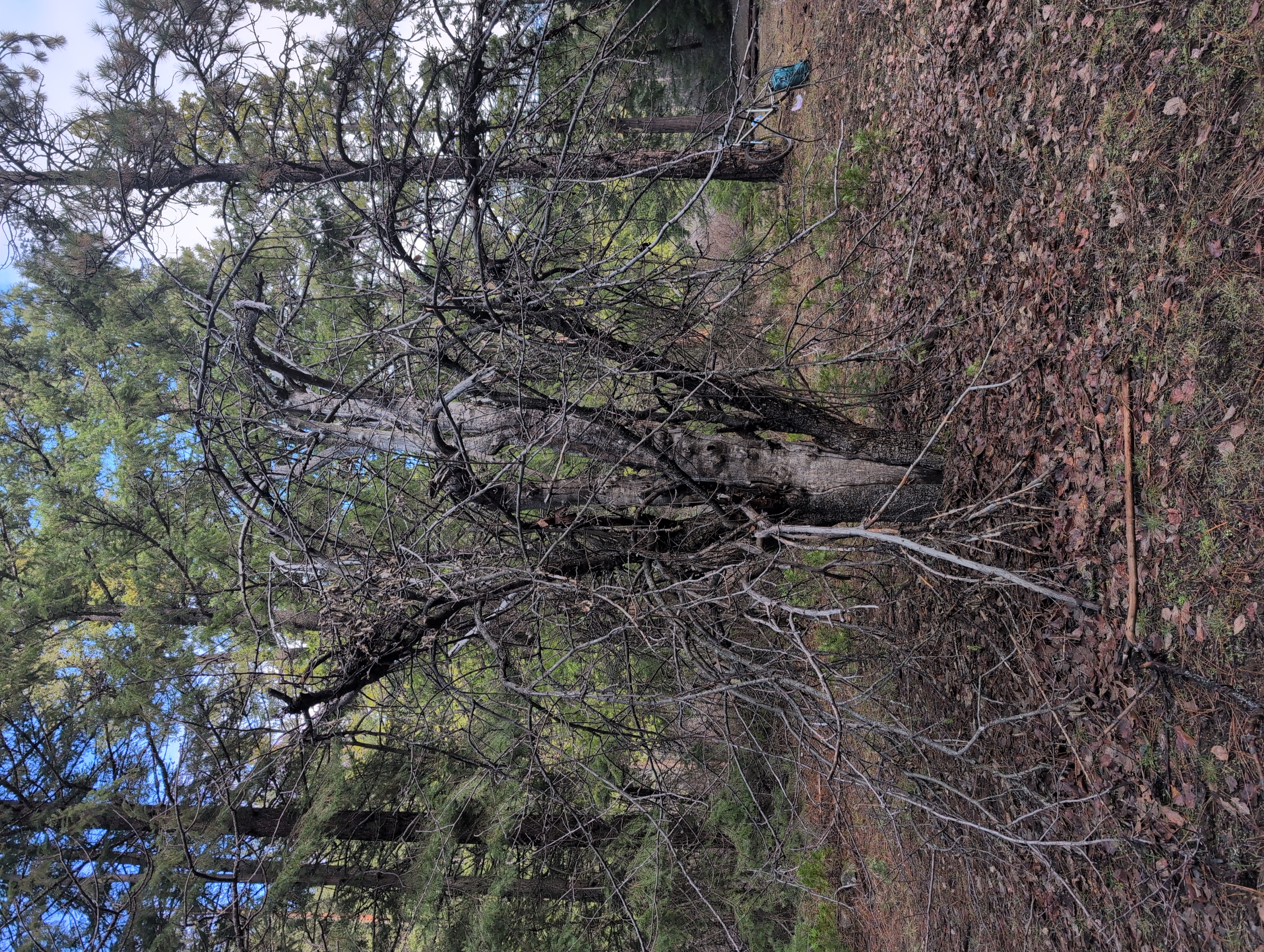
| 18:45, 11 February 2026 | Smith Homestead-Metolius 3.jpg (file) |  |
12.39 MB | Bot (talk | contribs) | Photo of Smith Homestead-Metolius Tree 3 | 1 |
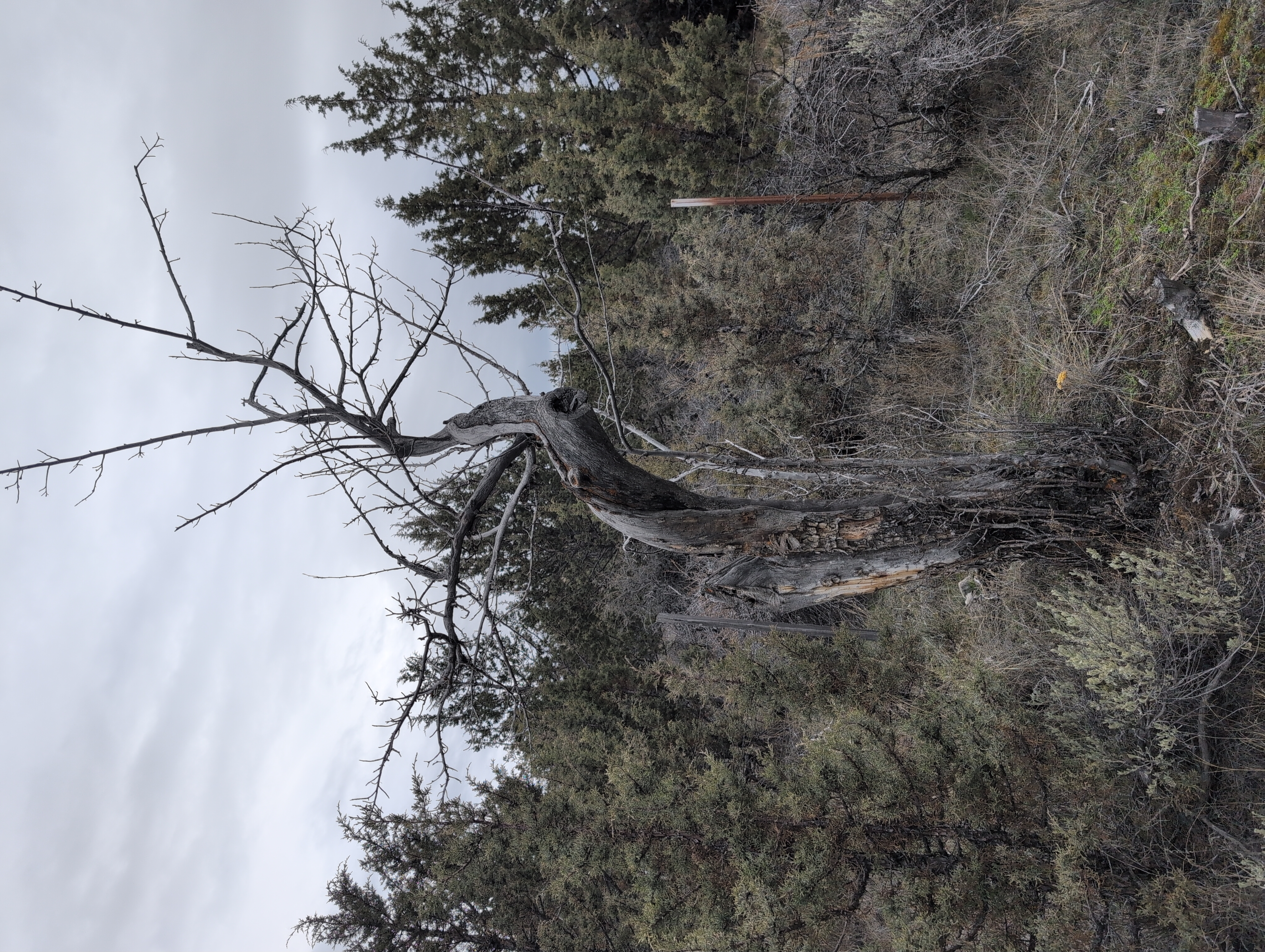
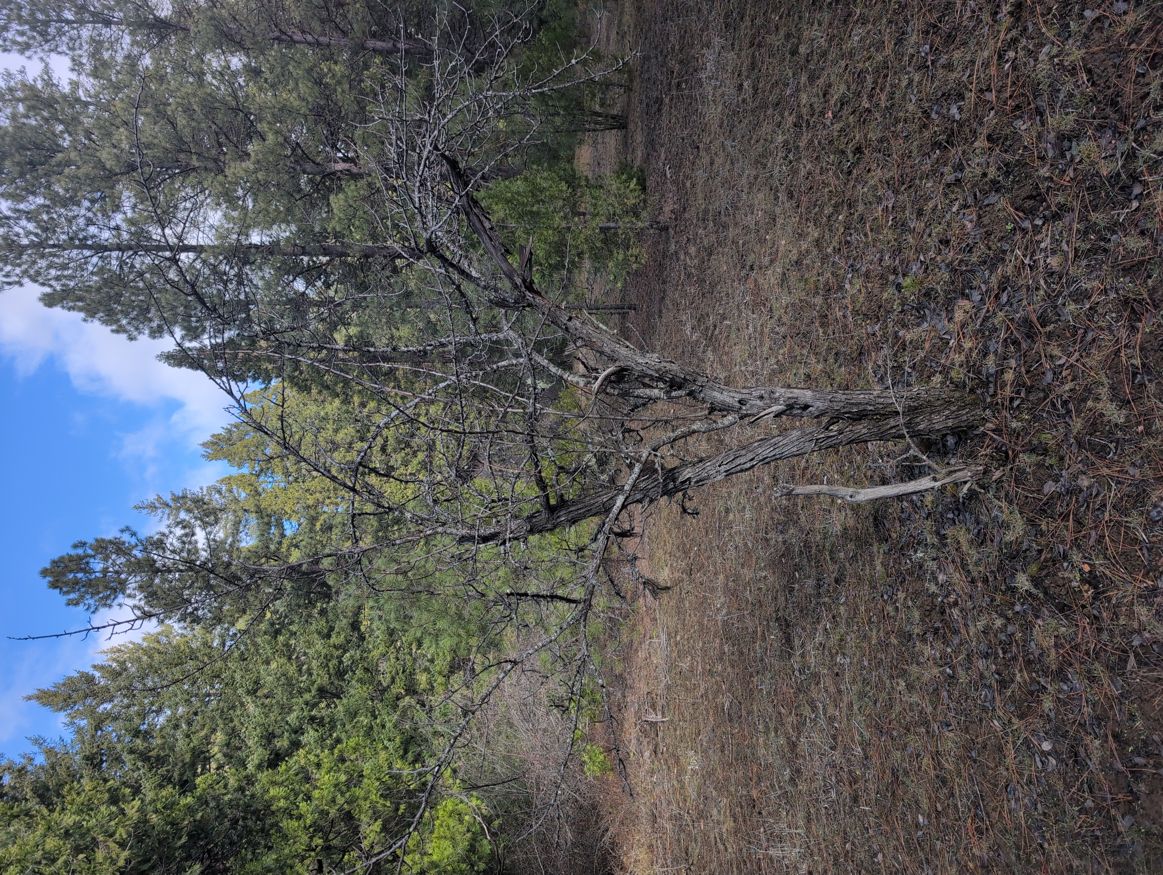
| 18:46, 11 February 2026 | Smith Homestead-Metolius 4.jpg (file) |  |
12.34 MB | Bot (talk | contribs) | Photo of Smith Homestead-Metolius Tree 4 | 1 |
| 18:46, 11 February 2026 | Smith Homestead-Metolius 5.jpg (file) |  |
11.68 MB | Bot (talk | contribs) | Photo of Smith Homestead-Metolius Tree 5 | 1 |

